Leica + AutoCAD Ecosystem
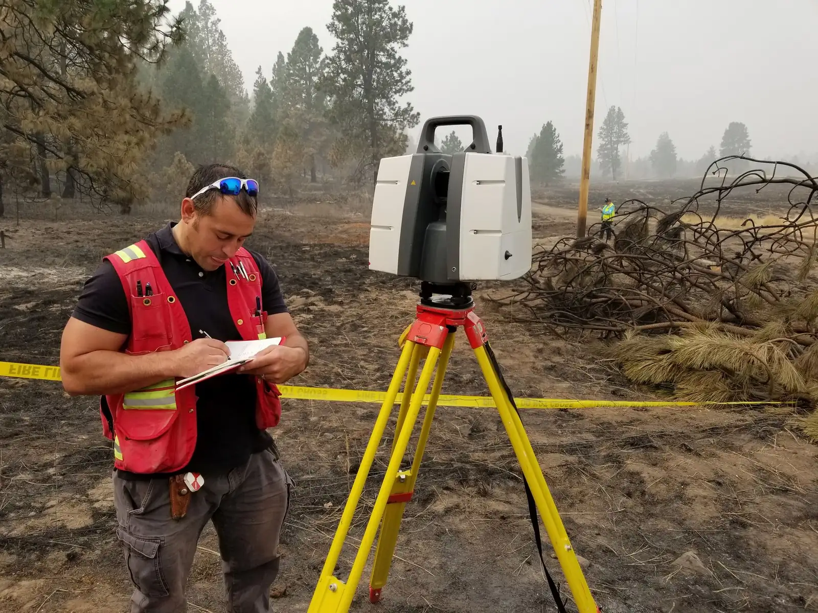
Certified expertise with Leica ScanStation, HDS Traverse, and full AutoCAD Civil 3D / Map 3D workflows. Photogrammetric control and survey-grade deliverables.

Elite geomatics and 3D forensic analysis. Spatially accurate reconstructions, photogrammetry, and litigation-ready visuals that bring clarity to the most complex investigations.
Satellite time-lapse — North America, 24-hour day/night cycle
SCROLL TO BEGINEvery deliverable is designed for technical rigor and persuasive clarity in front of judges, juries, and adjusters.
Certified expertise with Leica ScanStation, HDS Traverse, and full AutoCAD Civil 3D / Map 3D workflows. Photogrammetric control and survey-grade deliverables.
FAA Part 107 operations delivering high-resolution orthophotography, 3D mesh models, and inspection data that integrate seamlessly with terrestrial LiDAR and photogrammetry pipelines.
Scientifically defensible visibility studies and line-of-sight reconstructions critical for officer-involved incidents, wrongful death, and premises liability cases.
Specialized origin & cause mapping, tree failure reconstruction, topographic basemapping, and digital terrain modeling for insurance claims and complex litigation.
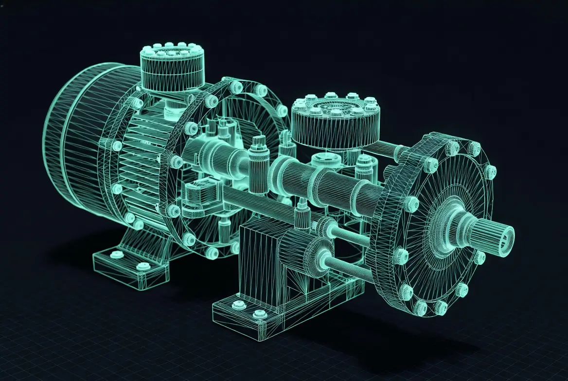
We don’t just use the tools — we build and automate them. Custom algorithms allow for faster, more accurate, and more insightful analysis.
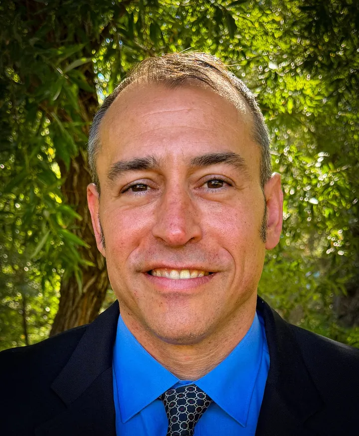
Land Surveyor-in-Training • Forensic Visualization Expert
With over 22 years of experience in mapping, LiDAR, UAV data capture, and advanced 3D modeling using AutoCAD and Leica Geosystems technologies, Joel has built a reputation for turning complex spatial data into clear, defensible visual evidence.
He brings 14+ years of dedicated forensic experience, having produced hundreds of court animations, exhibits, and presentations for accident reconstruction, wildland fire origin & cause, officer-involved shootings, wrongful death, and catastrophic injury cases.
“I developed proprietary automation tools and real-time game engine platforms that allow clients to interact with proposed conditions and forensic reconstructions in ways that were previously impossible.”— Joel Panock
Selected examples demonstrating the power of precise geospatial forensics in high-stakes matters.
LiDAR scanning, UAV data capture, and digital terrain modeling provided spatially accurate basemapping and fire progression visualization that supported conclusive origin determination. Photogrammetry is used in processing to extract measurements from historical and witness imagery.
Combined photogrammetric resection, bullet trajectory modeling, and 3D scene reconstruction to create court-admissible animations that clarified shooter and subject positioning for the trier of fact.
Advanced visibility and line-of-sight analysis using 3D models and ray-tracing techniques delivered compelling demonstratives that helped resolve complex premises liability claims.
Additional case studies available upon request under confidentiality agreement.
Whether you need a rapid response for an active investigation or comprehensive litigation support, our team is prepared to deliver precision you can rely on.
All case details are illustrative. Actual engagements are handled under strict confidentiality.